Cartography
-
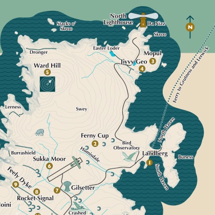
Illustrated mapping for public engagement and interpretation.
© the National Trust for Scotland
-
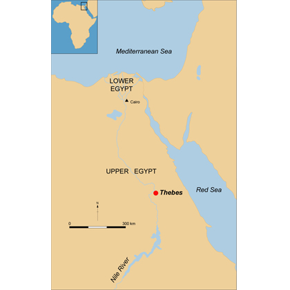
Map of Egypt showing the location of Thebes.
© Thomas Small.
-
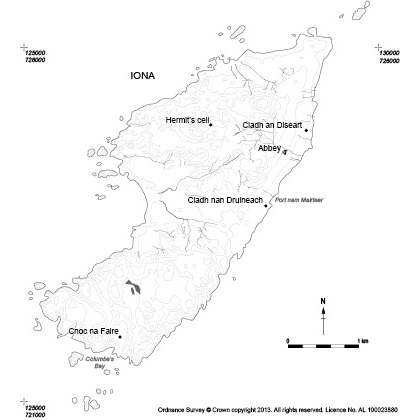
Contour data map of Iona for academic publication.
© the National Trust for Scotland
-
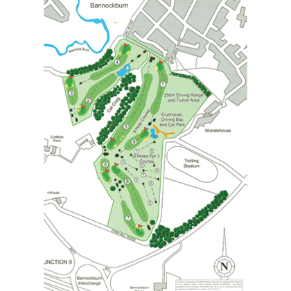
Plan of Brucefields family golf course near Bannockburn, Stirlingshire.
© Headland Archaeology Ltd.
-
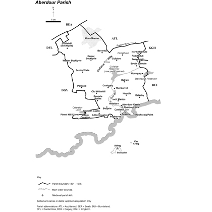
Parish map produced for inclusion in The Place-Names of Fife, Volume One: West Fife between Leven and Forth Shaun Tyas: Donington, 2006.
© Headland Archaeology Ltd.
Cartography
I am able to produce maps of varying scale and for a range of purposes conveying different types of information:
Illustrated mapping for public engagement and interpretation
Location maps
Topographic data
Distribution maps using QGIS
